Geography by Yash Dhotre
Deep within the jungles of central Cambodia lie the ancient ruins of Angkor, evidence of a civilization that centuries ago stretched its borders across most of Southeast Asia. Today, the influence of the Khmer, or Angkor, Empire remains scattered throughout the region in the form of ancient temples, monuments, and statues. The Angkor empires geography consisted of large lakes, rugged landscapes, dense forests and silt- rich riverbanks which were used for the growth of crops. The rugged and tree infested landscape proved advantageous to the Angkor empire during wars with neighbouring civilisations as the trees slowed down the movement and the high walls of enemy soldiers. Another geographical advantage to the Angkor empire was the fast, upstream rivers which then again helped the empire battle against other enemies by slowing them down or either drowning them due to the high tide. The Angkor empire was surrounded by a large square moat which allowed no enemy access. While the environment contained high tide waters, many ponds and moats slowed the flow of water, which made the Angkor empire resistant to floods and/or the worst case, tsunami's. Another great advantage to the Angkor empire's growth and economy were the flooding banks of rivers and lakes, the effect of water pouring on distilled land meant that silt-rich chemicals flooded to the surface for farming and growing of crops by farmers. Due to the many geographical wonders of Cambodia, the Angkor empire survived through the ages and expanded greatly with help from the geography.
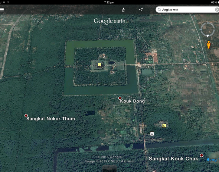
The pictures above show images of the Angkor empire (in the present) and the geographical structure and biomes surrounding the successful Angkor/Khmer empire.
PRIMARY SOURCES

This photo taken by a representative of National Geographic showcases the geography of current day Cambodia. The photograph was taken in 2010 prior to a heavy storm approaching.
We know that this photograph is a primary source because it has not been tampered with and comes from a legitimate owner who has taken an unbiased photo.
We know that this photograph is a primary source because it has not been tampered with and comes from a legitimate owner who has taken an unbiased photo.
SECONDARY SOURCES

This painting done by an unknown artist shows his views of the Angkor empire settlement. This painting was done in the age of the Angkor empire and was created in a forest viewing a temple.
We know that this is a secondary source because it is a painting, therefore the artist has his own perspective and view so it will not show a true, legitimate image of the location.
We know that this is a secondary source because it is a painting, therefore the artist has his own perspective and view so it will not show a true, legitimate image of the location.
RefErences
http://www.ancient.eu/Khmer_Empire/
http://travel.nationalgeographic.com.au/travel/world-heritage/angkor/
http://ngm.nationalgeographic.com/2009/07/angkor/stone-text
http://www1.american.edu/ted/ice/ankorwat.htm
Khmer Empire Presentation 2.7.08 - SlideShare
https://asianstudies.wikispaces.com/Angkor-Religion
http://www.newworldencyclopedia.org/entry/Khmer_Empire
